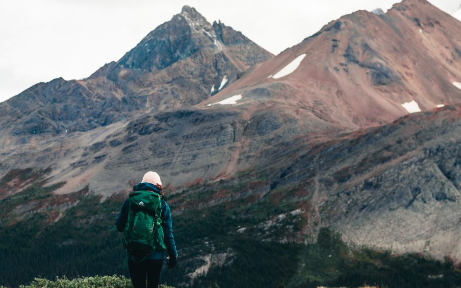
Temperature Changes with Altitude in Mountain Regions
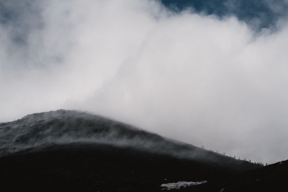
Temperature changes with altitude represent one of the most fundamental principles of mountain meteorology. As air rises over elevated terrain, it expands and cools, leading to a predictable decrease in temperature with height. This process, known as the lapse rate, governs the vertical distribution of heat and moisture in mountainous regions. The resulting temperature gradients create distinct climate zones, each with characteristic weather patterns and vegetation communities. Understanding these dynamics is essential for interpreting mountain environments, whether for scientific research, outdoor recreation, or land management.
The study of temperature changes with altitude draws on principles from atmospheric physics, climatology, and ecology. It explains why high peaks remain snow-capped even at low latitudes, and why plant life transitions from dense forests to sparse alpine tundra over relatively short horizontal distances. In the United States, mountain ranges such as the Rockies, Cascades, and Appalachians provide diverse settings where these processes can be observed. This article examines the mechanisms behind lapse rates, the factors that influence them, and their implications for weather and vegetation in mountain regions.
By exploring the interplay between rising air, cooling temperatures, and local conditions, we can appreciate the complexity of mountain climates. This overview is intended to provide a general framework, not to predict specific outcomes in any given location. Local topography, seasonal variations, and large-scale atmospheric patterns all contribute to the unique conditions found on individual mountains.
Understanding Lapse Rates: The Core Mechanism
The lapse rate describes the rate at which temperature decreases with increasing altitude. In the troposphere, the lowest layer of Earth’s atmosphere, the average environmental lapse rate is approximately 6.5 degrees Celsius per kilometer (about 3.6 degrees Fahrenheit per 1,000 feet). However, this value is not constant; it varies with moisture content, time of day, and synoptic weather patterns. Two primary types of lapse rates are relevant to mountain meteorology: the dry adiabatic lapse rate and the moist adiabatic lapse rate.
The dry adiabatic lapse rate applies to unsaturated air that rises without exchanging heat with its surroundings. It is approximately 9.8 degrees Celsius per kilometer (5.4 degrees Fahrenheit per 1,000 feet). When air is forced to rise over a mountain barrier, it expands due to lower atmospheric pressure and cools at this rate. If the air is dry, it remains unsaturated, and the cooling is strictly adiabatic.
The moist adiabatic lapse rate is lower, typically around 5 to 6 degrees Celsius per kilometer (2.7 to 3.3 degrees Fahrenheit per 1,000 feet), because condensation releases latent heat when the air becomes saturated. This release of heat partially offsets the cooling due to expansion. As a result, saturated air cools more slowly as it rises. The transition between dry and moist adiabatic rates occurs at the lifting condensation level, where clouds begin to form.
The actual temperature profile of the atmosphere, known as the environmental lapse rate, is measured by radiosondes and can differ from both adiabatic rates. It reflects the combined effects of radiation, convection, and advection. In mountainous terrain, the environmental lapse rate can be modified by local factors such as slope orientation, snow cover, and valley inversions. These variations make it necessary to consider multiple data sources when analyzing temperature changes with altitude.
How Altitude Creates Distinct Climate Zones
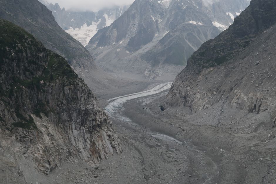
As air rises and cools along a mountain slope, it creates a vertical sequence of climate zones. These zones are characterized by decreasing temperature, increasing precipitation, and changes in wind exposure. The concept of life zones, developed by C. Hart Merriam in the late 19th century, provides a framework for understanding these patterns. Although the specific boundaries vary by region, the general progression from lowland to alpine environments is a consistent feature of mountain landscapes.
At lower elevations, temperatures are relatively warm, supporting broadleaf forests, grasslands, or deserts depending on moisture availability. As altitude increases, the mean annual temperature drops, and the growing season shortens. This leads to a transition to coniferous forests, then to subalpine woodlands, and eventually to alpine tundra above the tree line. Each zone hosts a distinct assemblage of plant and animal species adapted to the prevailing conditions.
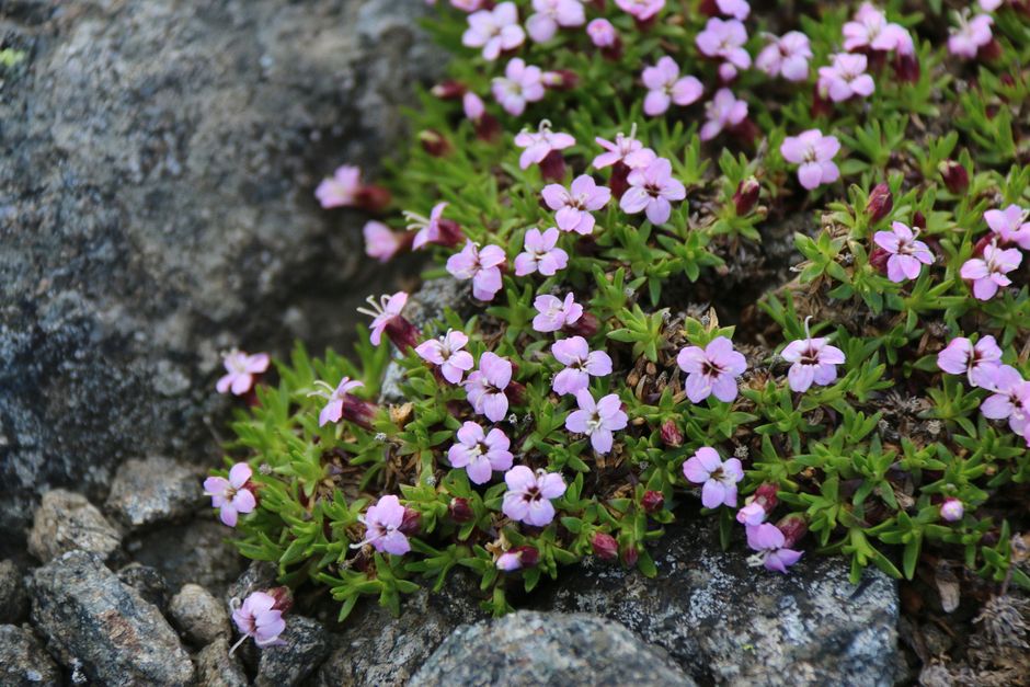
The tree line marks the upper limit of tree growth and is often determined by a combination of low temperatures, short growing seasons, and high winds. Above the tree line, vegetation is dominated by low-lying shrubs, grasses, and cushion plants. These adaptations help plants survive in harsh, exposed environments. The exact position of the tree line varies with latitude, aspect, and local climate, but it generally corresponds to a mean annual temperature of around 6 to 7 degrees Celsius (43 to 45 degrees Fahrenheit).
Precipitation also changes with altitude. Orographic lift causes air to rise and cool, leading to condensation and precipitation on windward slopes. This can create a rain shadow on leeward slopes, where descending air warms and dries. The combination of temperature and moisture gradients produces a mosaic of microclimates within a single mountain range. These microclimates influence soil development, hydrology, and biodiversity.
Factors Modifying Temperature-Altitude Relationships
While the general principle of decreasing temperature with altitude holds, several factors can modify the exact lapse rate and its effects. These include:
- Moisture content: Humid air cools more slowly as it rises due to latent heat release, while dry air cools more rapidly.
- Slope aspect: South-facing slopes receive more direct solar radiation in the Northern Hemisphere, leading to warmer conditions than north-facing slopes at the same elevation.
- Season: The lapse rate can vary seasonally; winter inversions may trap cold air in valleys, reversing the normal temperature gradient.
- Snow and ice: High albedo from snow cover reflects sunlight, keeping surface temperatures lower and influencing local air masses.
- Wind: Strong winds can mix the atmosphere, reducing temperature differences between elevations and increasing evaporative cooling.
These factors interact in complex ways, making it difficult to predict temperature at a given altitude without considering local conditions. For example, a valley may experience a temperature inversion at night, where cold air sinks and collects, while the adjacent mountain slope remains warmer. Such inversions can create unexpected frost pockets and affect vegetation patterns.
In the United States, the Rocky Mountains exhibit a wide range of lapse rate conditions due to their continental location and varied topography. The Cascades, influenced by Pacific moisture, often have lower moist adiabatic lapse rates, leading to heavy snowfall at high elevations. The Appalachians, being older and lower, show more subtle temperature gradients, but still support distinct ecological zones. These regional differences highlight the importance of local data when studying mountain climates.
Implications for Weather and Vegetation
The temperature changes with altitude have profound implications for weather and vegetation in mountain regions. As air rises and cools, it can reach saturation, leading to cloud formation and precipitation. This process is responsible for the heavy snowfall that accumulates on high peaks, feeding glaciers and alpine streams. The release of latent heat during condensation also fuels thunderstorms and can enhance instability in the atmosphere.
For vegetation, the vertical temperature gradient determines the length of the growing season and the availability of water. Plants at high elevations must tolerate freezing temperatures, strong winds, and intense ultraviolet radiation. They often exhibit adaptations such as small leaves, deep root systems, and the ability to photosynthesize at low temperatures. The distribution of vegetation zones is therefore a sensitive indicator of climate variability.
In the context of climate change, shifts in temperature-altitude relationships can have significant ecological consequences. Warmer temperatures may allow treeline to advance upward, altering alpine ecosystems. Changes in snowpack and glacier melt can affect water supplies for downstream communities. Understanding these dynamics is crucial for resource management and conservation planning.
Organizations such as Summit Ridge contribute to the study and interpretation of mountain environments by providing data and expertise. Their work helps inform decisions related to outdoor recreation, land use, and environmental monitoring. However, the complexity of mountain systems means that outcomes depend on many interacting factors, and no single approach can capture all variability.
Temperature changes with altitude are not merely a matter of height; they reflect the dynamic interplay of atmospheric processes, local topography, and ecological adaptation.
In summary, the decrease in temperature with altitude is a fundamental driver of mountain climate zones. Lapse rates, both dry and moist, govern the rate of cooling, while local factors such as aspect, season, and moisture modify the pattern. These temperature gradients shape weather patterns and vegetation distributions, creating the diverse landscapes found in mountain regions. Ongoing research continues to refine our understanding of these processes, with implications for science, recreation, and environmental stewardship.