Explore the geological and geographical background that ensures accurate, well-researched content on mountain systems and their environments.
Examining the Geologic and Geographic Dimensions of Mountain Systems
This page explores the geological processes that form mountain systems, drawing from established research in tectonics, stratigraphy, and geomorphology. We outline how geographic analysis describes the distribution and environmental conditions of these landscapes. Information is assembled through review and synthesis of peer-reviewed studies and observational data, and we note where scientific interpretations remain contested in the field. Rather than offering recommendations for exploration or study, the material helps readers understand how robust, well-sourced mountain content is built, and why any such overview remains shaped by differing methodologies and regional perspectives.
How the Research Process Works
Gathering Geological and Geographical Data
Collecting scientific records, maps, and geographic datasets from established sources regarding mountain systems.
Cross-Referencing Multiple Sources
Comparing findings across geological surveys, academic materials, and regional studies to identify consistent information.
Evaluating Environmental Factors
Reviewing climate, terrain, and ecological conditions that shape how mountain environments are described.
Organizing and Publishing Content
Structuring verified materials according to a transparent methodology for readers and educational use.
How We Study Mountains
Summit Ridge draws on established geological and geographical frameworks to examine mountain systems. This includes tectonic and volcanic formation processes, such as the ongoing uplift of peaks and ridges. We also explore climatic influences, like elevation-driven temperature shifts and precipitation patterns, and ecological conditions, from alpine flora to high-altitude wildlife. The aim is to provide well-researched insights for readers interested in geography and nature. Interpretations are based on current scientific understanding and may evolve as new research emerges. Topics can support study, trip planning, and independent learning.
Geological and Geographical Foundations of Mountain Systems
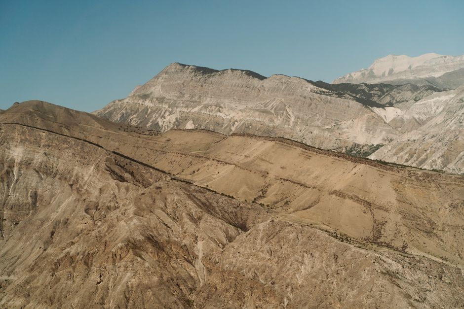
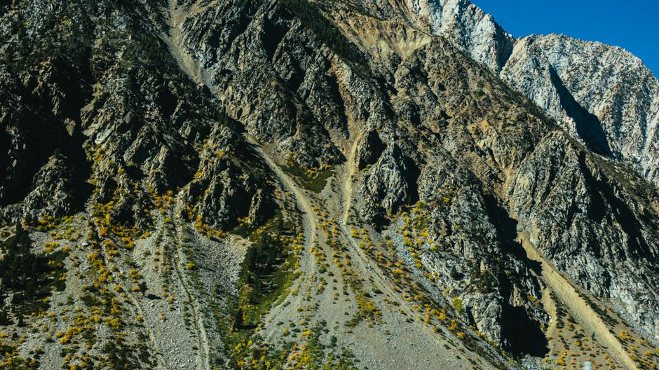
Mountain systems are shaped by the interaction of plate tectonics, which builds elevated terrain through uplift, and erosional processes such as weathering and glaciation that continually modify it. Altitude creates sharp environmental gradients—temperature, precipitation, and oxygen levels—that influence vegetation and wildlife, while latitude adds broader climate controls. These factors rarely act in isolation; tectonic history affects rock structure—and thus erodibility—while regional climate determines erosion rates, setting up feedbacks that vary across spatial and temporal scales. Because topography, climate, and biology are coupled, any explanation of mountain environments must account for multiple interacting variables rather than simple cause-and-effect. Understanding these connections allows for more accurate interpretation of mountain landscapes and the ecological patterns they support.
We use cookies
We use cookies to ensure the proper functioning of the website, analyze traffic, and improve your experience. You can accept all cookies or reject them — the site will continue to operate. For more details, read our Cookie Policy.